Day 4 West Highland Way: Tyndrum to Inverarnan
Recently I walked part of the West Highland Way in Scotland on a short 1-week break from work. Since I flew to Inverness, I decided to walk the trail in reverse, which was kind of cool since I often had the experience of hiking totally alone. I combined hiking with and without a backpack; camping, wildcamping and hostel beds and short and long walking days. If you want to know more about my general experience on this trip, read this blog. In this series of blogs I'll tell you about each section of the West Highland Walk and how I experienced it, today talking about section 4: Tyndrum to Inverarnan.
After a good night's rest at the By the Way hostel and a good bread and hummus breakfast, it was time for day four, and my last day of hiking. While I initially already was at the endpoint of my journey, I had a day to spare due to the rodent incident (see my previous blog) so I decided to add an extra section and walk to Inverarnan (around 20 km). This day was also the first day of walking with my backpack with a weight of around 12 kilo's, so that was going to be a challenge.

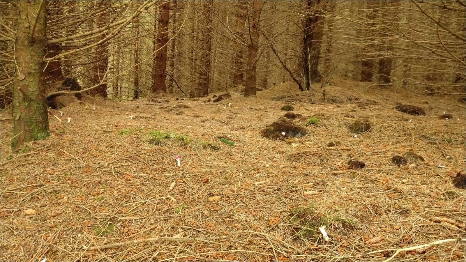
The weather was great as I walked out of the cute town of Tyndrum. The walk immediately felt different from the previous days, and not only because of the extra weight. Walking out of Tyndrum I was surrounded by forests, something that was hardly the case when I was higher up in the highlands. Pretty soon I saw a sign that I entered the Tyndrum Community Woodland, a beautiful forest area with lots of cool plants and animals. The WHW goes straight through this area, along little streams and past The Lochan (Legend of the Sword). As Tyndrum covers up the site of an ancient battlefield, it is bound to be the site of some cool stories. As the Clan MacDougall and Robert the Bruce fought in the Battle of Dalrigh in 1306, surprisingly Robert's forces were defeated. According to the legend, Robert ordered his men to dump their weapons in the nearby loch, as to make a quick retreat. This loch is now named "The Loch of the Legend of the Lost Sword", named after Robert's legendary massive sword that was told to have been almost 2 meters in length (wow, the length of a pretty tall human being as a sword :o). Nowadays a nice little bench is placed next to the WHW as a reminder of this story, as well as a stone with a cool carving of a sword. It was pretty cool to walk here and feel the ancient atmosphere.


The walk then takes you to some farmland on the other side of the highway. This farmland belongs to Scotland's Rural College, and they do all kinds of research on more sustainable farming practices. It is interesting to walk through not only because of the animals, but also because there are a lot of signs with explanations about what they are doing. After crossing the highway again, the WHW takes you through more and more forest. Up and down some small hils, and after about 9-10 km you'll make a bit of a steeper climb up the final hill before making your way down and around the corner towards Inverarnan. I believe, at this point there's also the possibility to take a little detour towards Crianlarich for a lunch or tea break. However, since I was on a tight schedule to catch my bus back from Inverarnan I decided to continue walking. From here it is all downhill, and as you make your way through the forest you'll have the time to look around and encourage the people going the other way, up up up. After a while the trail takes you to the other side of the A82, at this point, make sure you have peed. I remember I had to pee so much, and walking along the beautiful River Falloch for another maybe 6 km or something reaaaaaallly didn't help. Nevertheless, it's a beautiful walk downhill towards Inverarnan. Make sure not to miss the famous Falls of Falloch, 'cause since you're walking the WHW in the other direction, you might miss it if you don't look back!

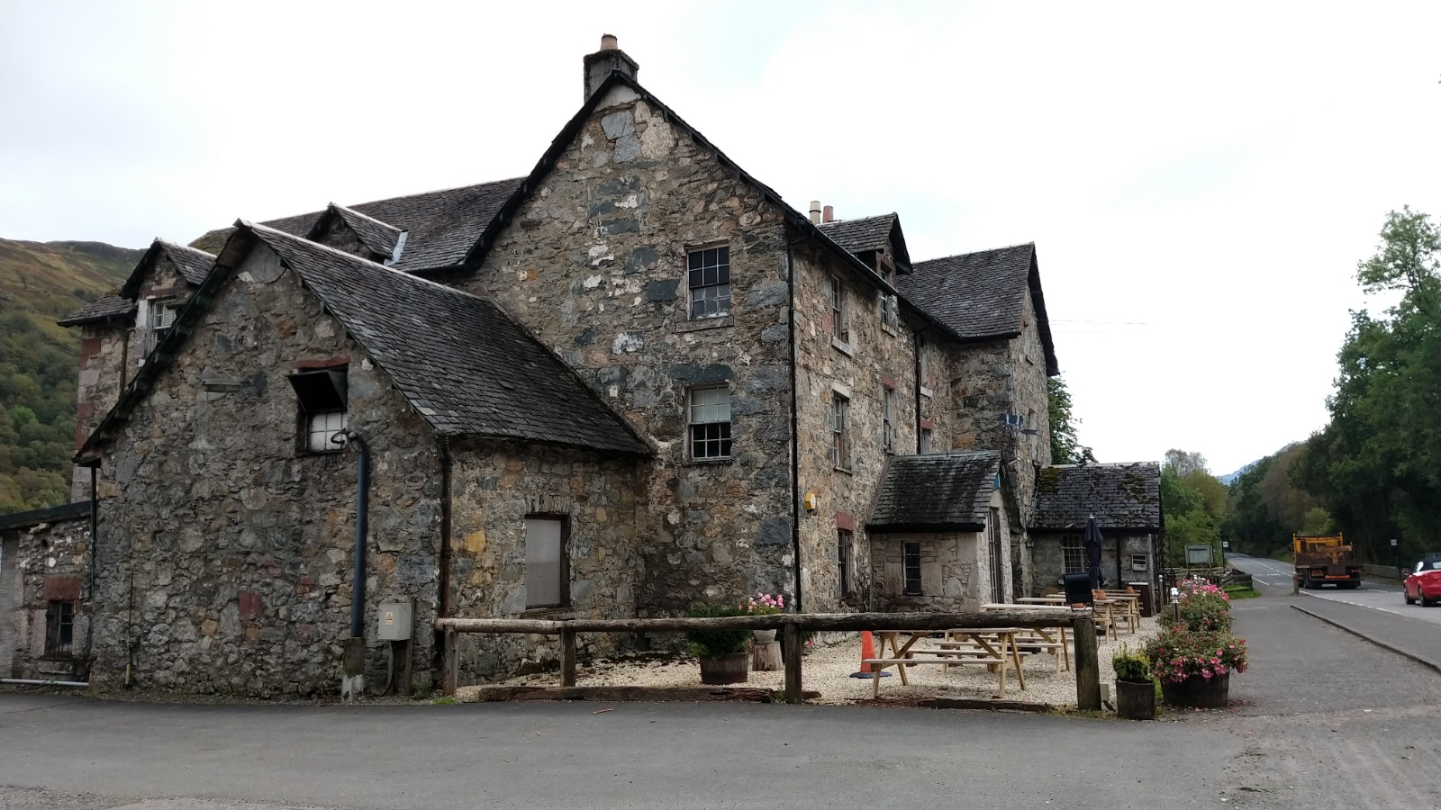
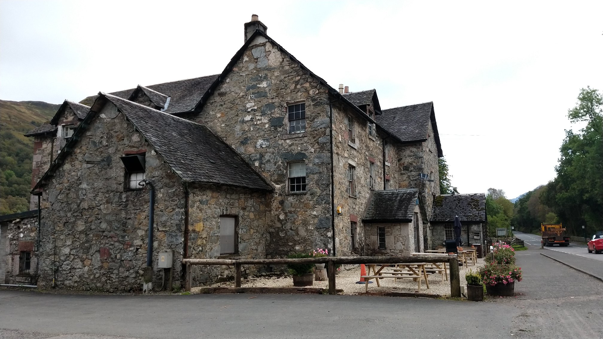
At the end of the 20km, I was super tired. The backpack was too much. I wouldn't recommend walking with a backpack that weighs 25% of your body weight for 20 km on the first day. Unfortunately I was met by a surprise. The tiny bridge connecting the WHW between the Being Glass Campsite and the Drover's Inn was closed due to flooding damage. O.M.G. I was so broken at this point, and so relieved I thought I had made it, and then they told me I had to walk back around 1,5 km to cross at the previous bridge. Full of frustration, I walked back, cried my heart out before reaching the pub almost an hour later, but luckily still in time for my bus. I dried my tears, was proud of myself and had a nice soda to celebrate my 24km day at the beautiful old Drover's Inn, before catching the bus back to Tyndrum.
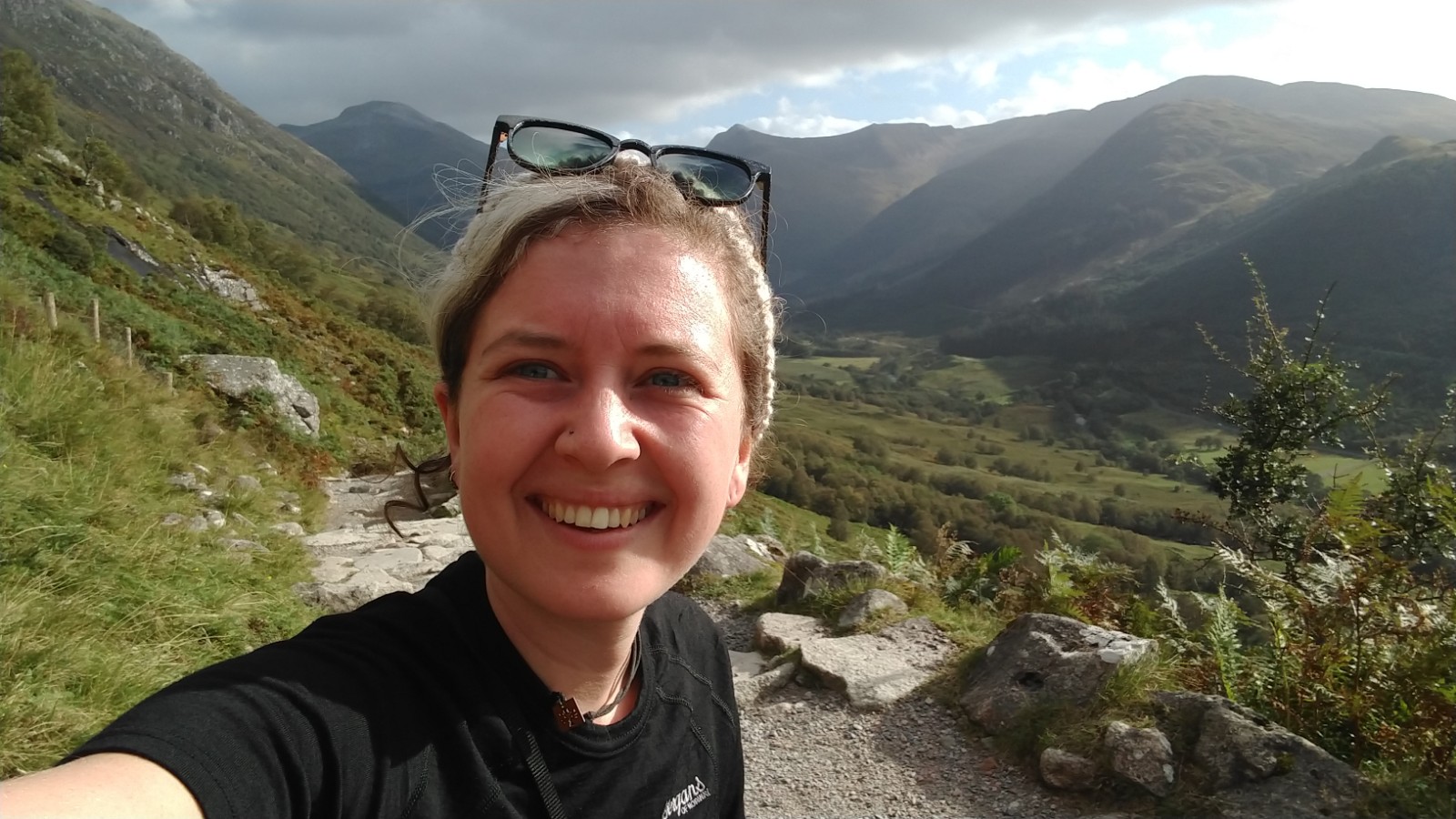
After four days of hiking, I finished more than half, and the best half ;P, of the WHW. It was a great experience with amazing surroundings, relatively good weather, and the best people. Reflecting back on my 4-day adventure in my tiny tent back at By the Way, I felt proud, relieved and tired. The next day I would make my way back to Inverness by train and bus to spend some time there, before going back to the Netherlands on Sunday.
- 3647 keer gelezen






 view of Ben Nevis, and the surrounding walks, I could warm up a bit to my 21 km walk the next day. After a nice pint of cider, a conversation with a Belgian chemist, now construction worker, and a good nights' rest, the big vegan Scottish breakfast the next morning came as a welcome addition to my day of hiking.
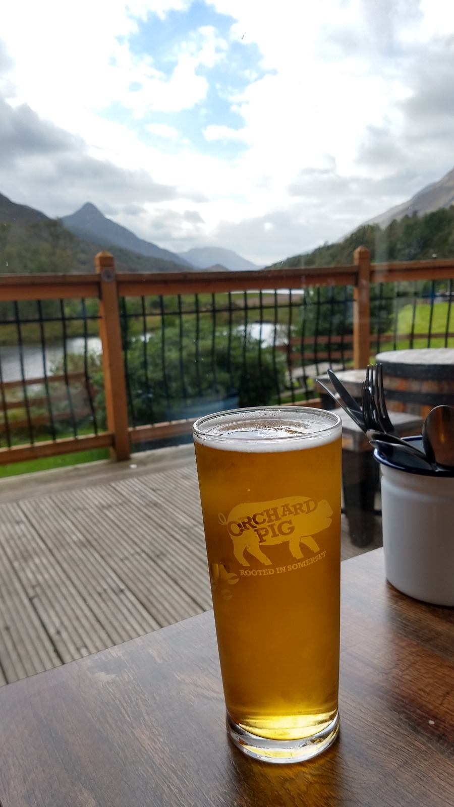
  castle, which I didn't find....), and I was just in aww throughout the whole hike. I felt like a hobbit in Middle Earth. It was amazing, beautiful and sometimes really lonely. While I met many hikers going the other way, most of them I met during midday, when we were both halfway. In the morning and afternoon I was alone most of the time, which was quite a special experience. The hike was a bit tough because it was quite long and going up and down a lot, but the trail was easy and I had no difficulties finding my way. After about six hours I arrived in Kinlochleven, a beautiful small town, where I stayed at MacDonald hotel and cabins campsite, which has an extremely georgous view of Loch Leven. Opposite to the hotel is a wildcamping spot where I saw many people camp for the night as well, and filling up their water bottles at the MacDonald Hotel. I enjoyed a nice Wild Pig Cider (absolutely delicious) and cooked my freezedried food. Listening to the tawny owls in the distance, I finally fell into a long, deep sleep.


 England & United Kingdom


foto's sanderP contributed on 23-11-2019 11:06
Er lijkt weinig veranderd op deze prachtige wandeling. Mijn foto's van 15 jaar geleden zouden ook zo in jouw fotoboek passen. Mijn foto's zijn wel in de tegenovergestelde richting geschoten...
Haha wat cool!! De andere Hannah contributed on 23-11-2019 16:58
Haha wat cool!! De andere kant op lopen lijkt me ook prachtig, als je zo die bergen in loopt. Kwam inderdaad ook mensen tegen die het eerder hadden gelopen en hetzelfde zeiden. Prachtig toch dat zo'n mooie wandeling weinig charme verliest :)
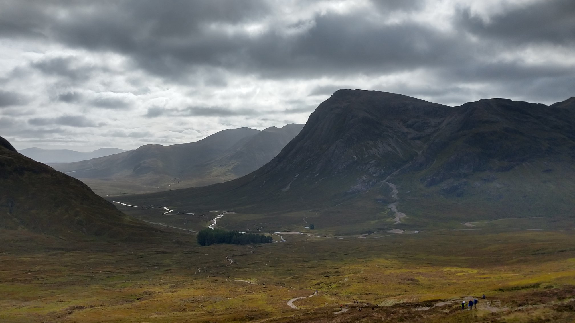
Buachaille etive mór John Löwenhardt contributed on 08-12-2019 21:49
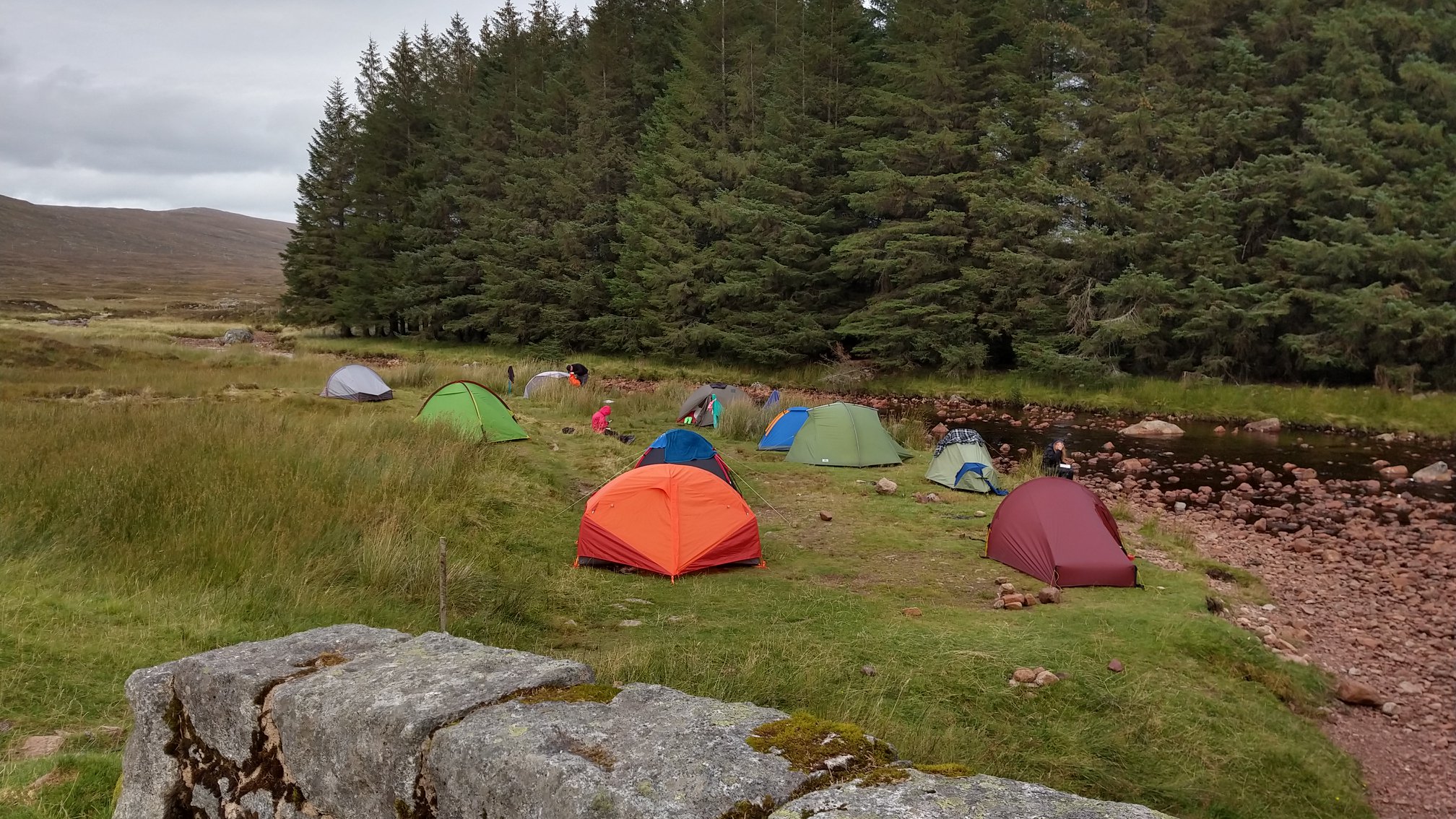
I was pleased to read your blog, Hannah. I myself camped close to your spot I assume, alongside river Coupall the night of 20-21 June 1997.
Add new contribution